

Elevation Maps
Three types of elevation data, each suited to a different job:
Contour Maps
Elevation shown as contour lines — good for understanding slope and gradient at a glance. Used in site planning, drainage design, and land assessment.
Digital Surface Maps (DSM)
Captures everything standing on the site — buildings, vegetation, structures included. Useful where you need to account for what’s actually there, not just the ground.
Digital Terrain Maps (DTM)
Bare-earth elevation with structures and vegetation removed — used for earthworks, drainage planning, and topographic analysis where you need the ground itself, not what’s on it.
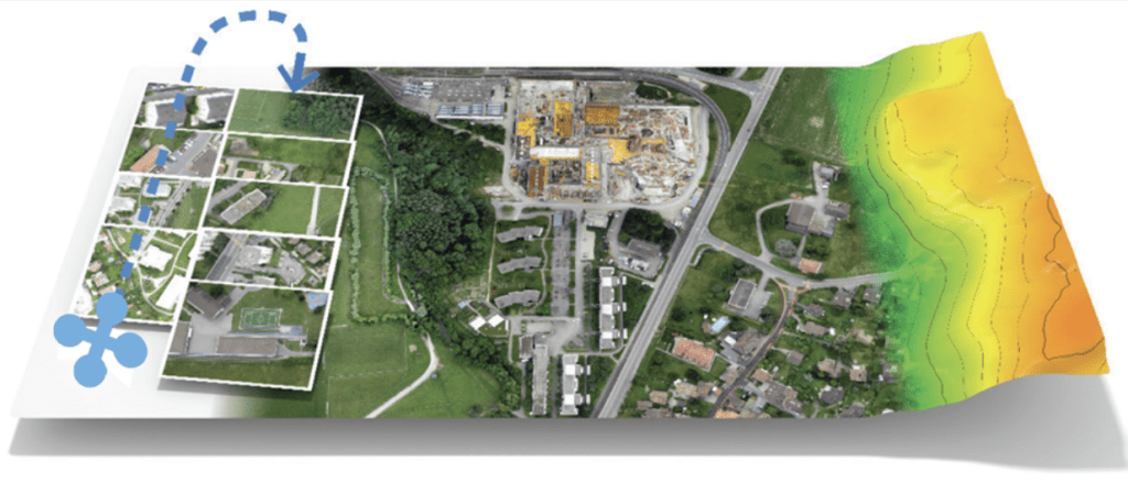
The following examples illustrate various elevation maps DroneScout can produce for you

Digital Terrain Map – Field Contour Map with DSM – Field Digital Terrain Map – Housing Project Digital Surface Map – Housing Project Digital Surface Map – Housing Project Orthomosaic and it’s Digital Surface Model Digital Surface Map – Field Digital Surface Map – Field Digital Surface Map – Church Digital Surface Map – Housing Project Digital Terrain Map – Housing Project


