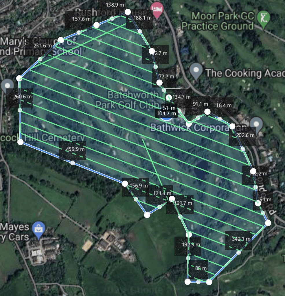
Orthomosiac Maps

Introduction to Orthomosaic Maps
Orthomosaic maps are high-resolution, georeferenced images that provide an accurate representation of the Earth’s surface. Created by stitching together multiple aerial photographs, these maps are corrected for lens distortion, camera tilt, and topographic relief, resulting in a seamless and precise image. Our drone services offer cutting-edge orthomosaic mapping solutions for various industries, providing detailed and actionable insights.
What Are Orthomosaic Maps?
Orthomosaic maps are created by processing numerous overlapping aerial images taken from drones. These images are corrected for geometric distortions and stitched together to form a single, continuous map that is true to scale. Unlike regular aerial photographs, orthomosaic maps provide uniform scale across the entire image, allowing for accurate measurements of distances, areas, and features.
What are the outputs?
The map can be exported into several different formats such as GeoTIFF(RGB), GeoTIFF(Raw), JPEG, PNG or KMZ (Google).
Note – This doesn’t include the other data types such as elevation maps and 3d models.
Your business needs will dictate the type of outputs DroneScout will need to deliver to your company. Most likely you’ll want a few select formats and the rest won’t be required. In order to determine what fits best for you we’ll need to have a conversation. And you can contact us now to get that discussion started.
Benefits of Orthomosaic Maps
Orthomosaic maps offer numerous benefits, making them invaluable for various applications:
High Resolution: Detailed imagery provides clarity and precision, essential for thorough analysis.
Accurate Measurements: Uniform scale allows for precise measurements of distances, areas, and features.
Georeferenced Data: Maps are accurately positioned with GPS coordinates, facilitating easy integration with other geospatial data.
Versatility: Suitable for a wide range of applications, from agriculture to construction and environmental monitoring.

How Orthomosaic Maps Are Created
The creation of orthomosaic maps involves several steps:
1. Image Capture: Drones equipped with high-resolution cameras capture overlapping images of the survey area.
2. Georeferencing: Each image is tagged with GPS coordinates to ensure accurate positioning.
3. Image Processing: Specialized software corrects for distortions and aligns the images based on common points.
4. Stitching: The processed images are stitched together to form a seamless map.
5. Final Adjustments: Additional corrections are made to ensure accuracy and consistency.

Why Choose Our Orthomosaic Mapping Services?
Our drone services provide top-notch orthomosaic mapping solutions, tailored to meet the specific needs of your project.
We use state-of-the-art drone technology and advanced image processing software to deliver high-quality, accurate maps.
Whether you need detailed imagery for agricultural planning, construction management, or environmental monitoring, our orthomosaic maps offer the clarity and precision required for effective decision-making. By leveraging our expertise and cutting-edge technology, we ensure that you receive the most reliable and detailed orthomosaic maps available. Partner with us to gain valuable insights and drive the success of your projects with confidence.
The examples below show measurements being taken direct from the orthomosaic map.


